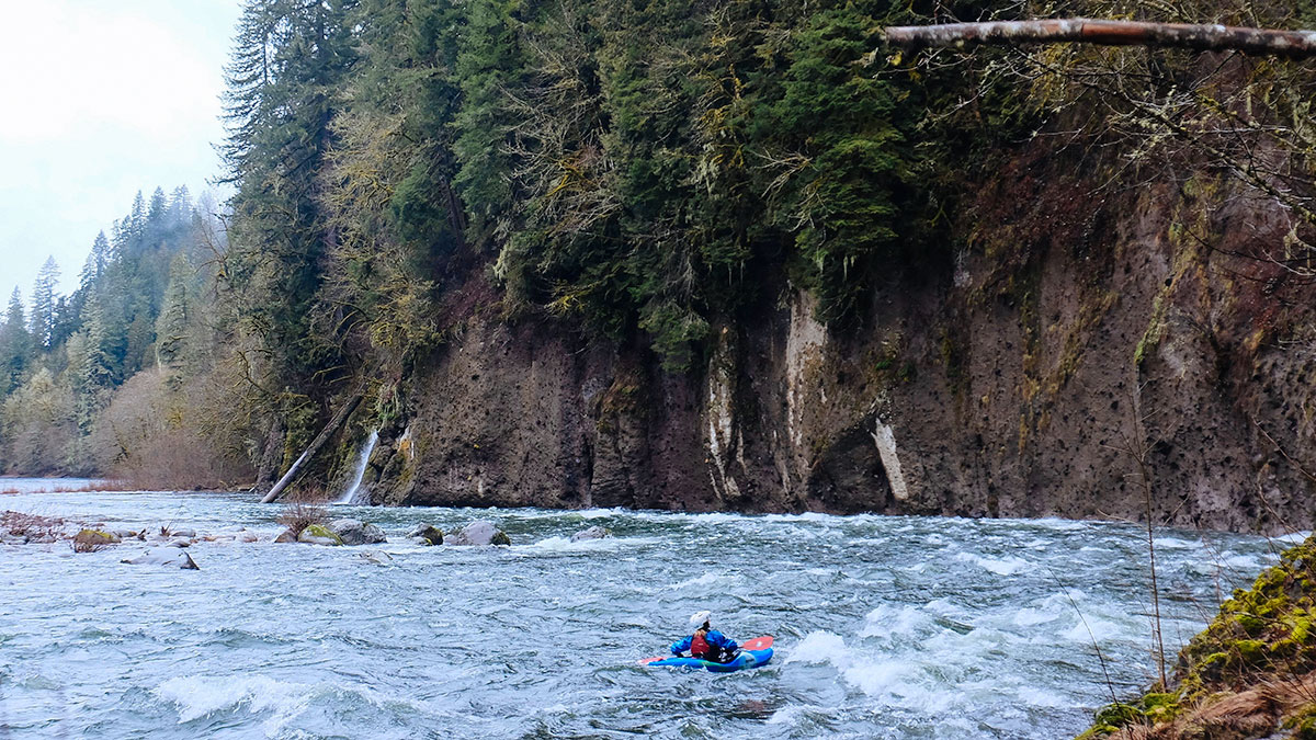
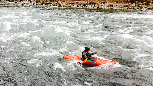
 Susan Elliott: Michael and I entered the Sandy River from
a tributary, Bull Run. Deep caves in the river's canyon walls lined the shores
before the canyon expanded at the confluence of the Sandy. The river doubled
in flow, and the deep caverns evolved into tall overhanging cliff walls. Rain
likely kept other paddlers at home in the comforts of their shelter. We, however,
enjoyed the additional flow in waterfalls around every corner and the groundwater
dripping through seemingly solid rock. Snow and ice likely melted just days
before our trip. This day, the moss flaunted its bright green coat as if it
had been stifled for months prior.
Susan Elliott: Michael and I entered the Sandy River from
a tributary, Bull Run. Deep caves in the river's canyon walls lined the shores
before the canyon expanded at the confluence of the Sandy. The river doubled
in flow, and the deep caverns evolved into tall overhanging cliff walls. Rain
likely kept other paddlers at home in the comforts of their shelter. We, however,
enjoyed the additional flow in waterfalls around every corner and the groundwater
dripping through seemingly solid rock. Snow and ice likely melted just days
before our trip. This day, the moss flaunted its bright green coat as if it
had been stifled for months prior.
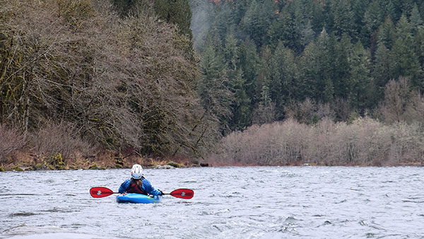
Fog hung low in the deep evergreen forests and often silhouetted a single tree, reminding us to see the trees through the forest. While not within a National Forest polygon, the forest along the banks of the Sandy River below Dodge Park connects with the Bull Run Watershed upstream. These trees collect and filters the drinking water of over 960,000 Portland residents. Thus, the Sandy River's larger watershed provides sustenance for one of the largest cities in the Pacific Northwest. The thought made the importance of that one tree, silhouetted in the fog, seem greater.
As we floated the 8 miles to Oxbow Park, the whitewater eased into mellow meanders. Large gravel bars and eroded banks hinted at the power of this river. Today, however, fisherman casted their flies in peace and we floated calmly all the way to the take-out.
 Michael Hughes: Good friend Susan from