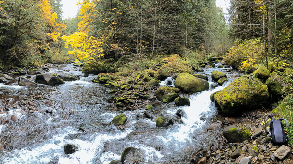
 Zach Collier: The South Fork Roaring River flows through
a deep, inacessible canyon in the Roaring River Wilderness. There are historic
trails in the area that have mostly been overgrown and are hard to follow.
To spend time on this river I hiked down the trail that begins at the end of
Road 4611 on the north side of Roaring River. From there I hiked upstream passig
Parrywinkle Falls to the confluence with Roaring
River and South Fork Roaring
River. From the confluence I bushwhacked upstream to see as much of the river
as possible. There's a rumor of a waterfall on the South Fork Roaring River
but I was unable to find it. If you go be sure to bring a GPS and be ready
to walk through waist deep water as you make your way up Roaring River to the
confluence.
Zach Collier: The South Fork Roaring River flows through
a deep, inacessible canyon in the Roaring River Wilderness. There are historic
trails in the area that have mostly been overgrown and are hard to follow.
To spend time on this river I hiked down the trail that begins at the end of
Road 4611 on the north side of Roaring River. From there I hiked upstream passig
Parrywinkle Falls to the confluence with Roaring
River and South Fork Roaring
River. From the confluence I bushwhacked upstream to see as much of the river
as possible. There's a rumor of a waterfall on the South Fork Roaring River
but I was unable to find it. If you go be sure to bring a GPS and be ready
to walk through waist deep water as you make your way up Roaring River to the
confluence.
OWSR No. 48: South Fork Roaring River
- Tributary of the Wild and Scenic Roaring River in the Clackamas River drainage
- Flows through the Roaring River Wilderness
- Declared Wild and Scenic March 30th, 2009 from its headwaters
to its confluence with the Roaring River
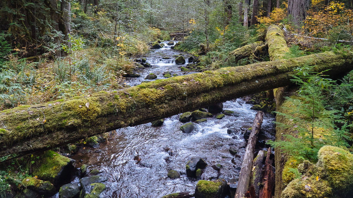
Moss Covered Tree Spanning the South Fork Roaring River | Photo: Zachary Collier
Quick Facts
|
More Information |
Celebrated by Zach Collier on October 15, 2019 by hiking from the confluence with the Roaring River upstream.